


Try Wings Engine Now
 Get started


Overview of GIS
GIS, or Geographic Information System, is a comprehensive technological system that integrates data collection, storage, management, analysis, and display.
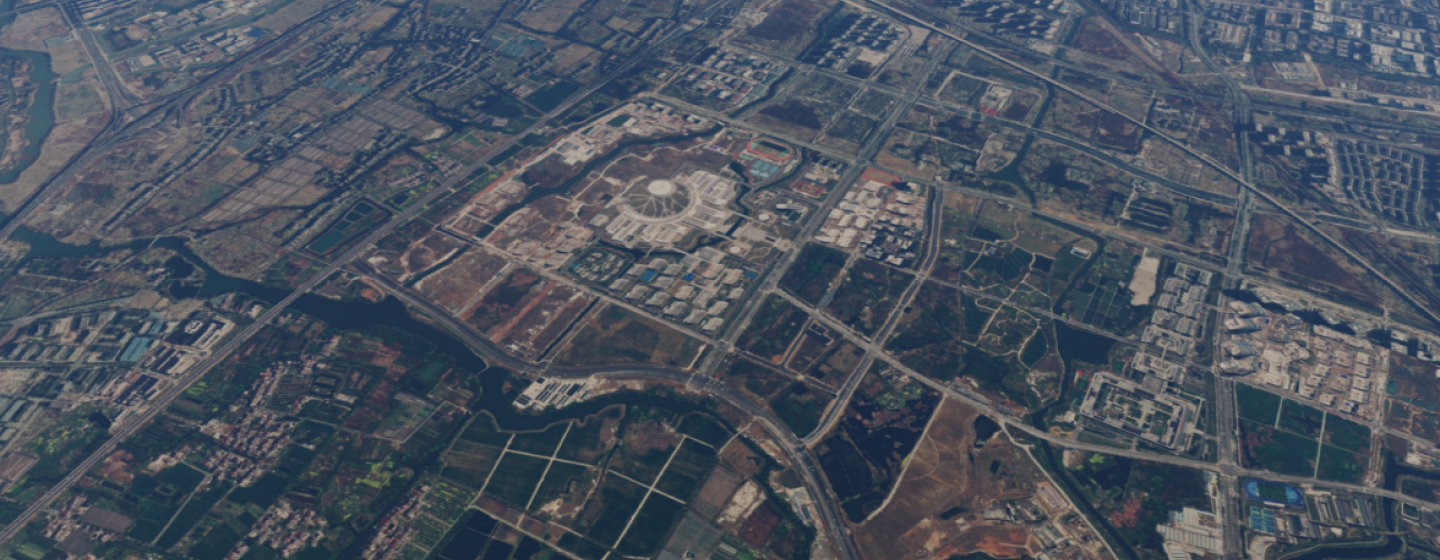
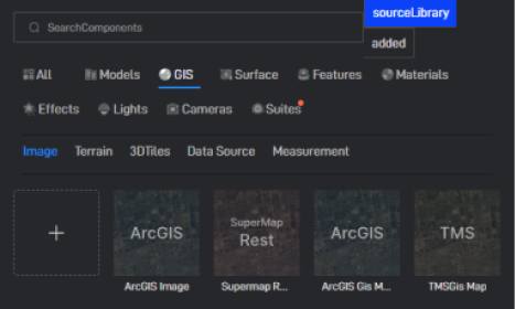
GIS Imagery
GIS imagery refers to image data of geographic areas captured through remote sensing technologies, such as satellites or drones. It is a crucial component of GIS data.
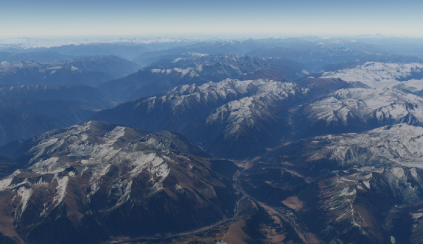
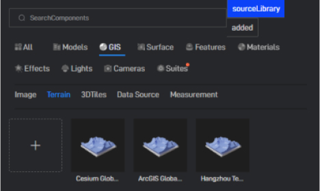
GIS Terrain
GIS terrain is an important data type used to describe the morphology of the Earth's surface, including elevation, slope, and aspect information.
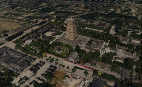
Oblique Photography
Oblique photography is a remote sensing technology that captures images of a target area from different angles. The images collected by drones equipped with cameras can be input into the Wings Engine to generate realistic 3D models, thereby reflecting the real world on a large scale, with high precision and high definition.
Additional Features
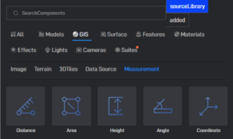
Surveying and Mapping
Wings Engine provides surveying and mapping functions that enable GIS components to efficiently process and analyze geospatial data, such as calculating distance, area, length, and height.
Terrain Editing
Wings Engine provides terrain editing functions, allowing users to freely adjust views and conveniently select terrain areas.
Monomerization
Wings Engine provides a visual operation interface for oblique photography, which can perform individual operations on specific buildings.
Get started