GIS Terrain
The GIS Terrain component is one of the components within Wings Engine. It needs to be added manually and can be removed.
The settings for the GIS Terrain component are divided into two main categories: Basic Settings and Terrain Editing. Each will be introduced below:
1. Basic
| ** Configuration item ** | Describe |
|---|---|
| Display | Whether to display the GIS Terrain. |
Import GIS Terrain:
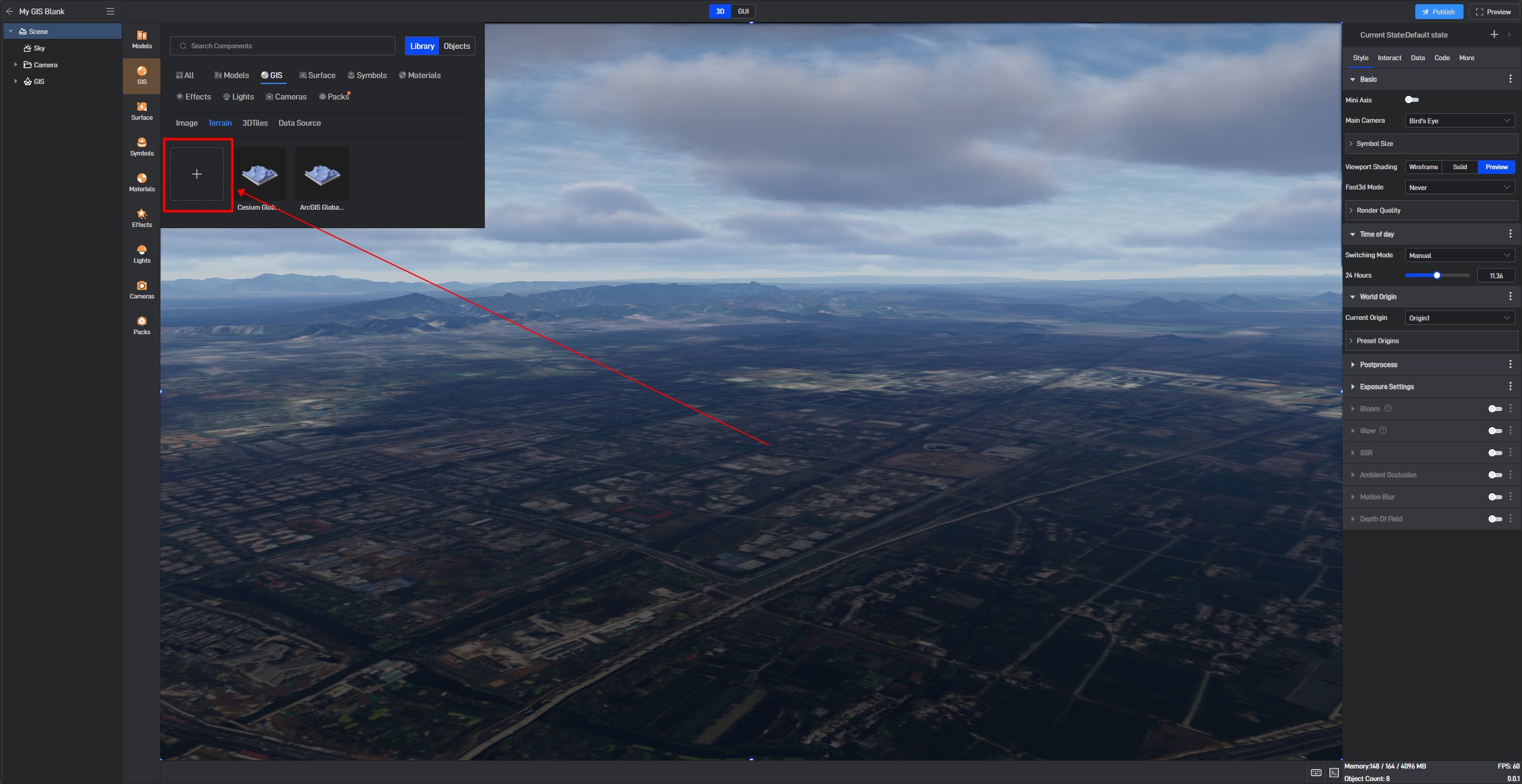
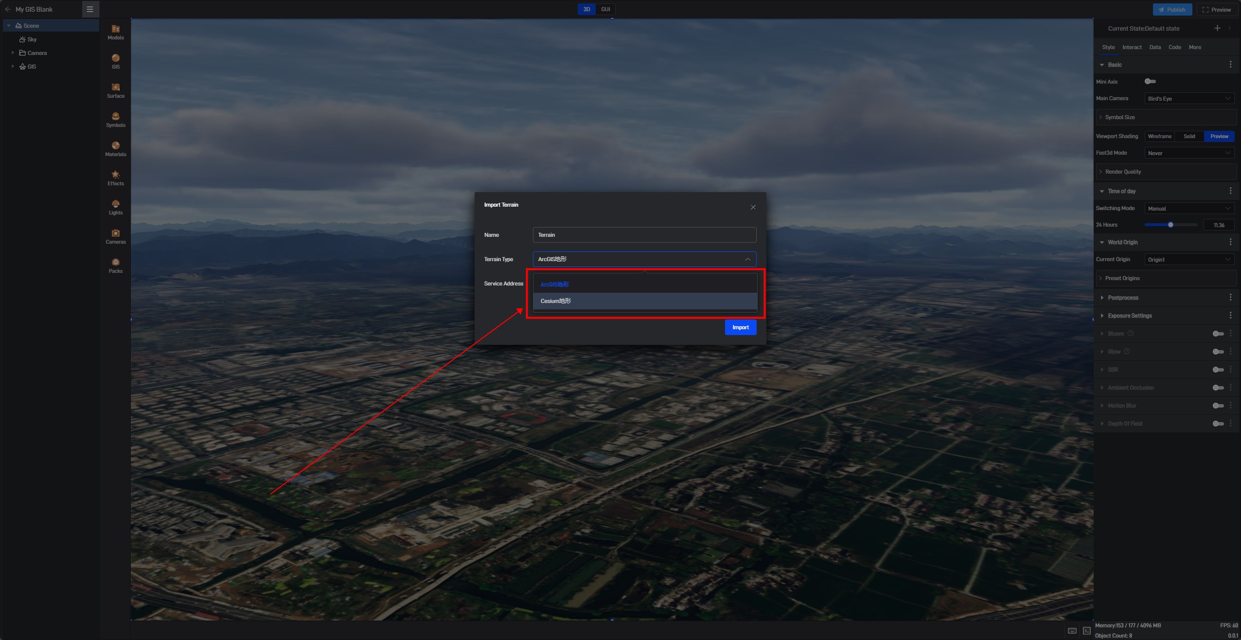
In the pop-up window, you can import GIS terrain, which currently supports two terrain formats: terrain and heightmap.
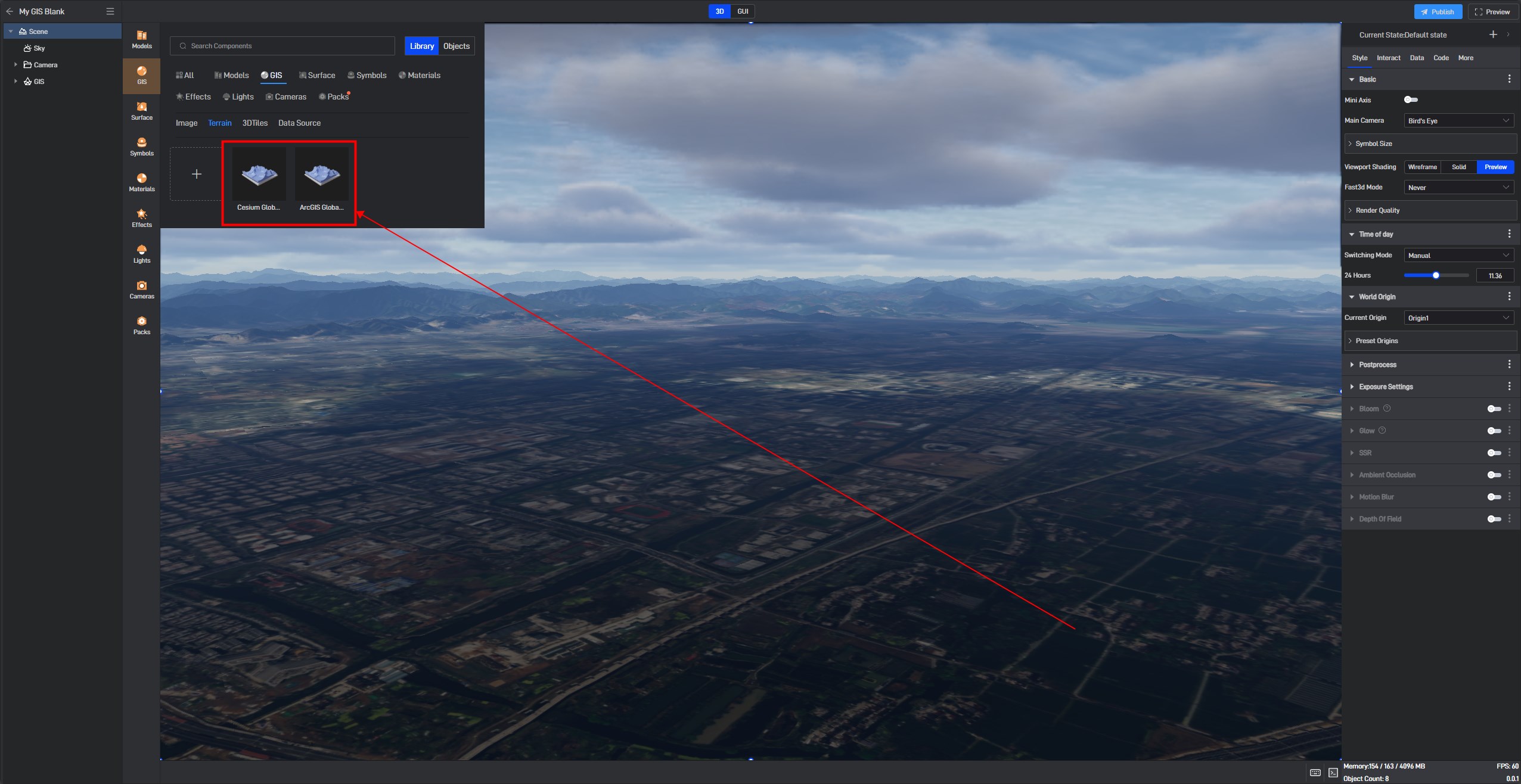
We also offer two preset terrain data options: “Cesium Global Terrain” and “ArcGIS Global Terrain”.
2. Terrain Edit
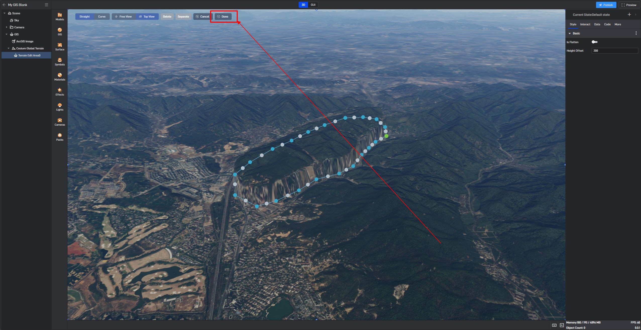
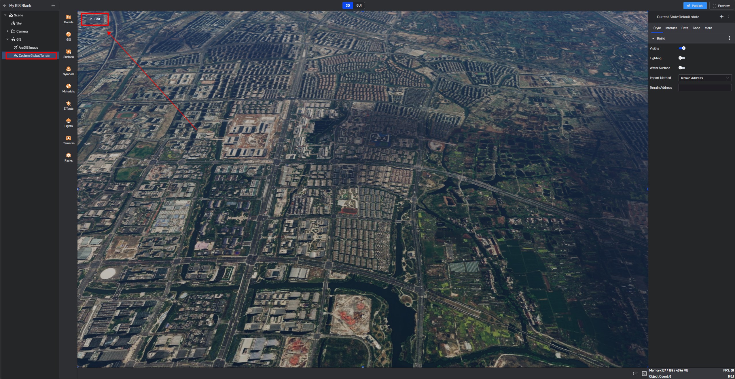
Select the GIS terrain layer, and you will see the **”Edit” **button in the upper left corner of the screen. Click it to enter terrain editing mode.
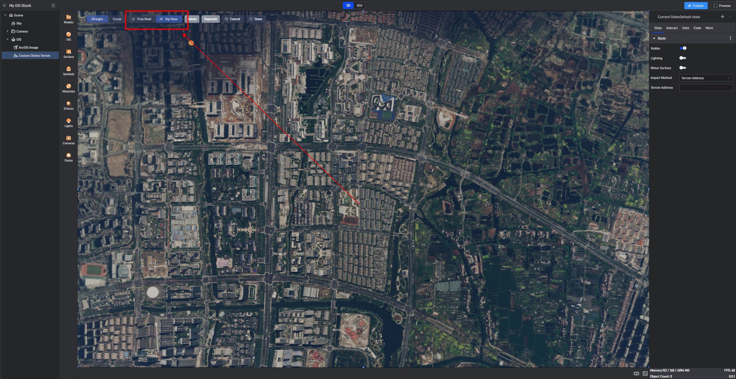
You can switch the “Free View” to “Top View” on the right side for easier terrain selection in the following steps.
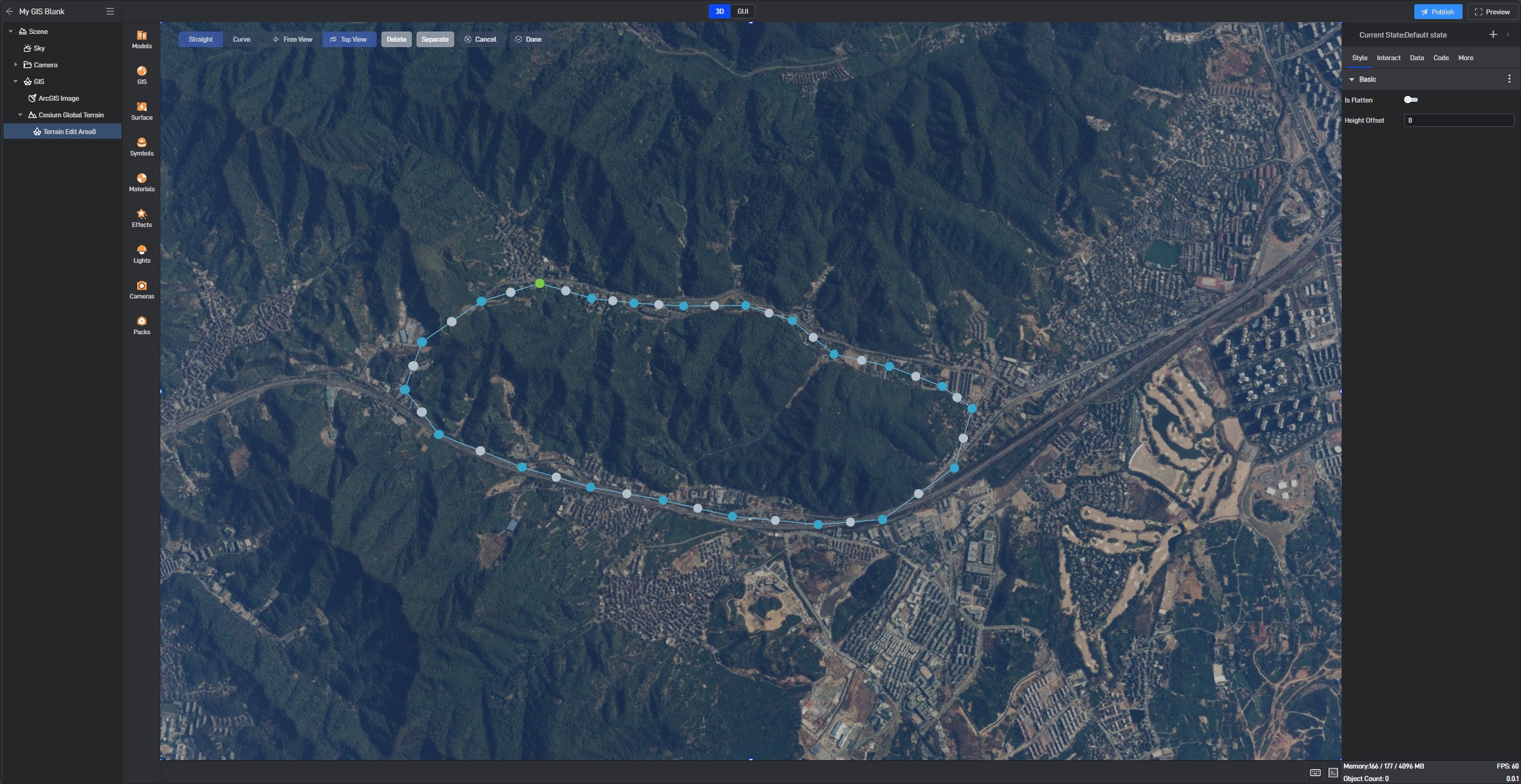
Use the mouse to click and select the terrain area you want to edit.
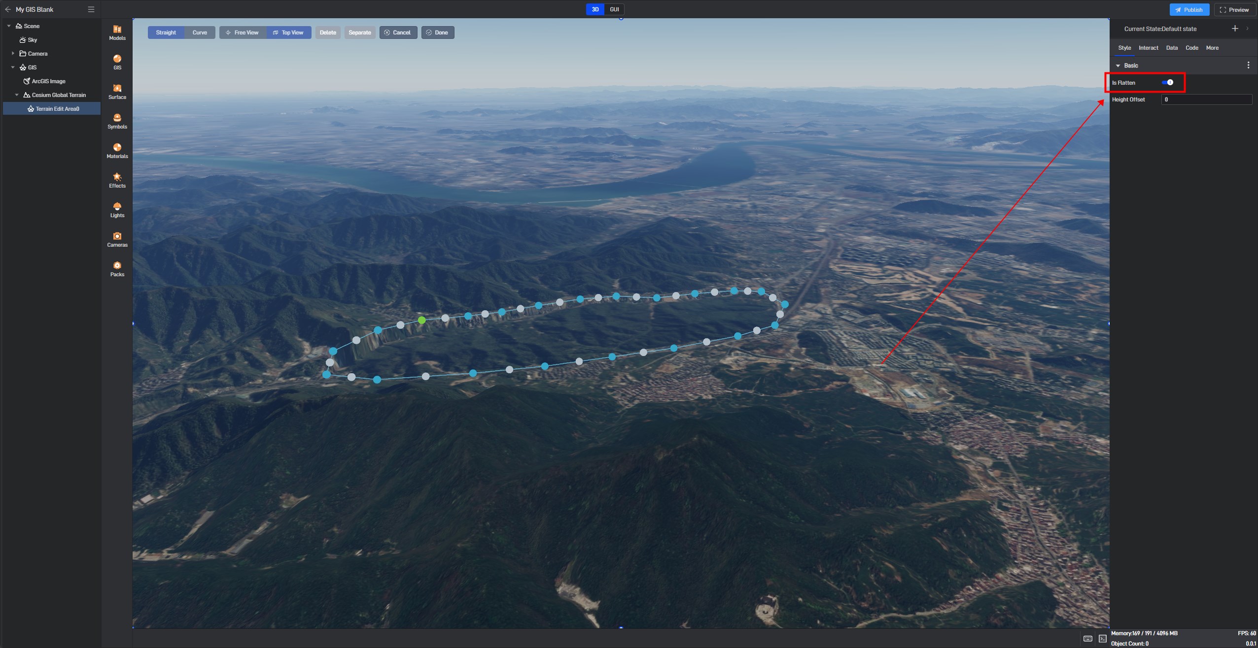
You can edit the terrain in the “Basic” panel on the right.
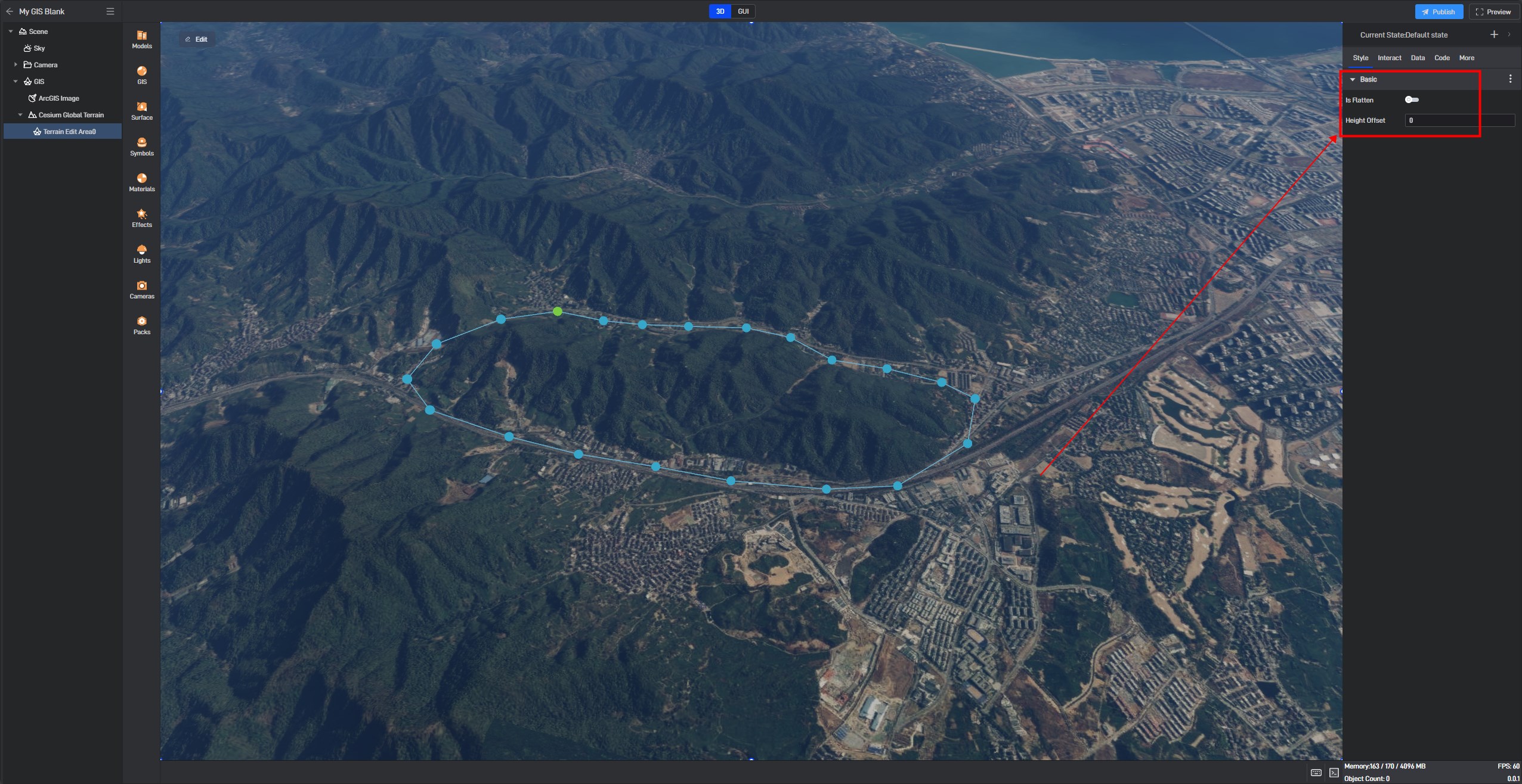
When “Is Flatten” is enabled, the selected terrain will be flattened.
You can set “Height Offset” to raise or lower the terrain.
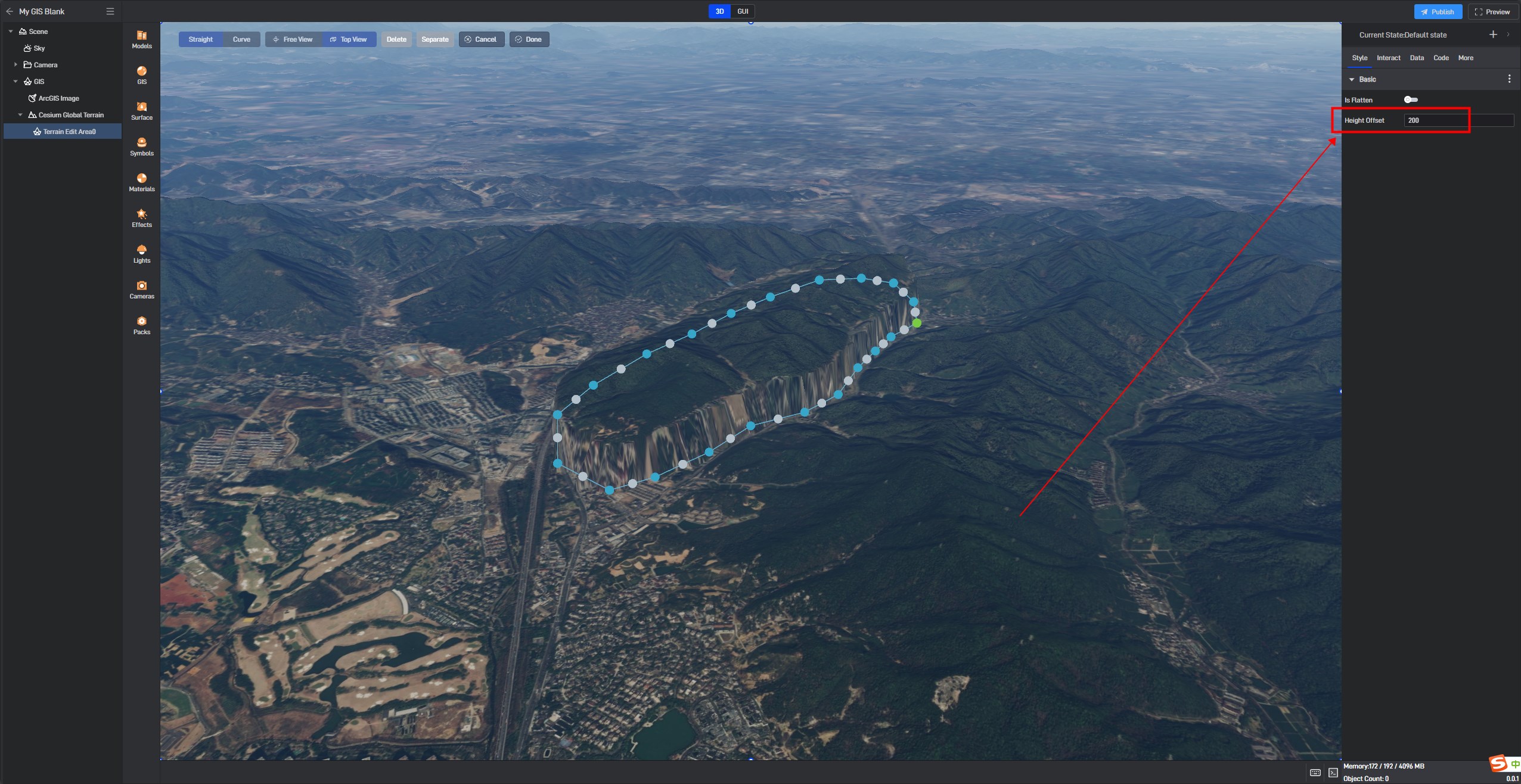
Once the settings are complete, click “Done” to finish.
